Located in Lombardy in northern Italy, Lake Iseo is almost equally divided between the Province of Bergamo and the Province of Brescia in the Camonica valley.
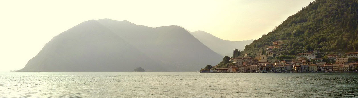
The shores of Lake Iseo are famed both for their natural beauty and for the well-preserved old towns and villages scattered along the shoreline. The lake is surrounded by lush mountains and the whole area is growing into a popular destination for tourists, albeit much less well-known than Lombardy lakes such as Lake Como and Lake Garda.
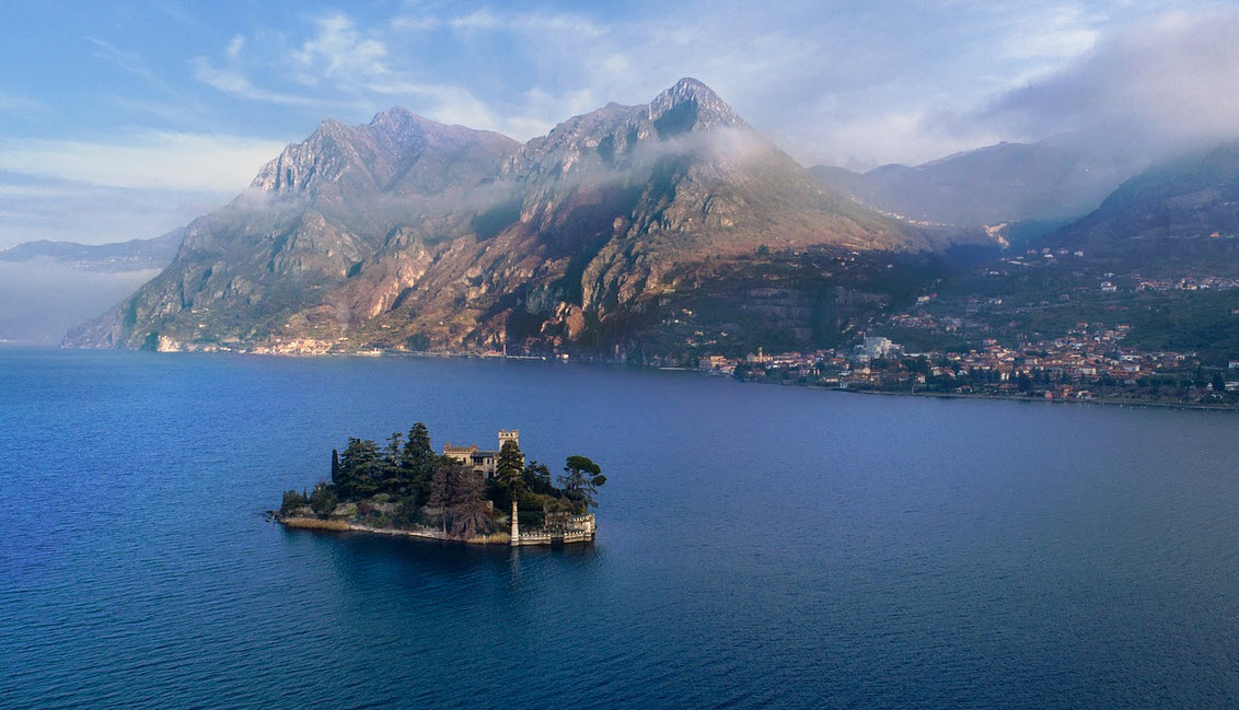
There are three islands in the lake; a larger one named Monte Isola and two smaller ones named Lerto and St. Paul, respectively. Lerto and St. Paul are privately owned. Monte Isola is home to approximately 1,800 residents, spread over roughly a dozen different villages and hamlets.
Names
Italian name: Lago di’Iseo
Alternative name: Sebino
English name: Lake Iseo
Short facts about Lake Iseo
| Location | Lombardy, Italy |
| Coordinates | 45°43′N 10°05′E |
| Primary inflow | Oglio |
| Primary outflow | Oglio |
| Lenght | 25 km |
| Surface area | More than 65 square kilometres |
| Max depth | 251 metres |
| Average depth | 124 metres |
| Surface elevation | 185 metres |
Towns and villages dotted around the lake
In the Province of Brescia
| Clusane |
| Iseo |
| Marone |
| Montisola |
| Paratico |
| Pilzone |
| Pisogne |
| Sale Marasino |
| Sulzano |
In the Province of Bergamo
| Castro |
| Lovere |
| Predore |
| Riva di Solto |
| Sarnico |
| Tavernola Bergamasca |
Monte Isola
Monte Isola (also known as Montisola) is the largest island in Lake Iseo and it is home to roughly 1,800 people. With a total area of 12.8 square kilometres Monte Isola is the largest lake island in southern Europe. This is also one of the highest lake islands in Europe. The peak of the island is located 600 metres above sea level and 419 metres above the lake’s average surface level.
Getting there
There are two main ports on the island: Carzano and Peschieria. Both have ferry traffic service with the mainland.
Getting around
Cars and motorbikes are not allowed on the island, but mopeds and bicycles are. The network of bike lanes and hiking trails is extensive.
Sightseeing
- The Shrine of Madonna della CeriolaThis shrine is located on the highest spot of the island, which is 600 metres above sea level and more than 400 metres above the lake’s surface. You’ll reach it via a trail going from the village Cure.
- The Church of San MicheleThis baroque-style single-nave church located in Peschieria Maraglio was built in the 17th century and consecrated in 1648. The walls and the ceiling are adorned with frescoes, and the church is also decorated with wooden carvings.
- The Martinengo FortressThis fortress was created in the 1400s by Oldofredi, and in the 1700s, Martinengo made it bigger.
History of the island
Archaeological findings indicate that there might have been one or more Roman settlements on the island.
The oldest written mentioning of the island that has survived into our time is from the year 905 AD, when the island was included in a property list for the S. Salvatore monastery in Brescia.
The Oldofredi family built fortresses on the island from the 11th century an onwards.
Documents from 1497 show how Francesco Sforza, Duke of Milan, reduce the taxes for the inhabitants of the island and give them certain fishing rights.
In the 1800s, many of the island’s residents worked with boat building or fishing net manufacturing.